

Section: New Results
Augmented geographic maps
Participants : Julia Chatain, Marie Demangeat, Anke Brock, Martin Hachet.
|
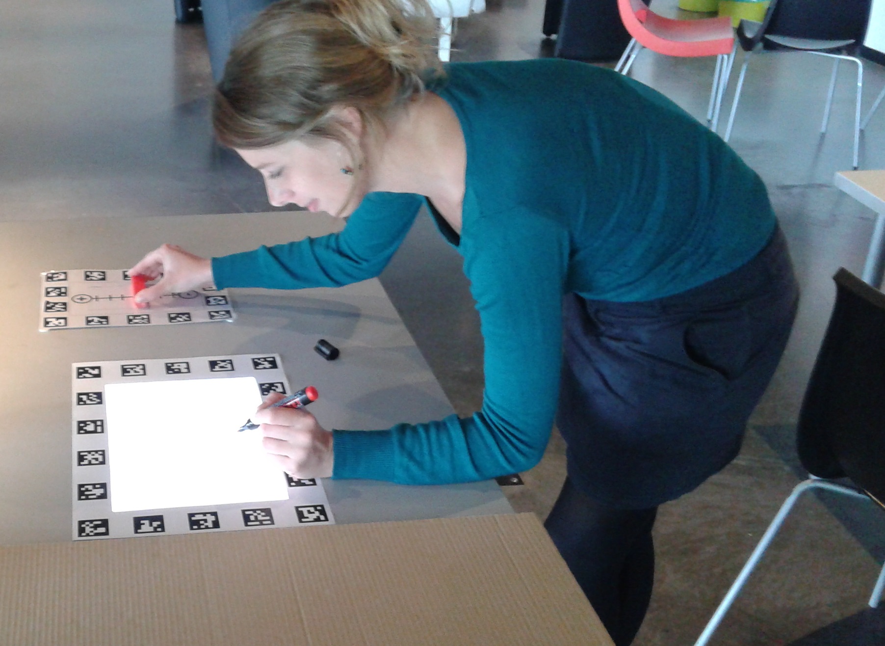
Interactive geographic maps are today widely available, but remain mostly limited to standard interaction contexts. We introduce SyMAPse [48] , a spatial augmented reality map, based on the PapARt framework . In our prototype, we use augmented reality to display a virtual map on a physical piece of paper, thus keeping features of both media. Thanks to the digital map base, users can pan, zoom and even change the basemap. At the same time, the paper base allows users to manipulate the map physically and so to interact in a more “natural” way, as well as to draw on the paper using regular pens. In a preliminary study with visitors of the "Cap Sciences" science center, we compared interaction techniques based on touch, tangible and spatial modalities for these three common map functions: zooming, panning, and changing the basemap. Our results suggest that object-based and spatial interaction may be advantageous over touch in our augmented reality setup.